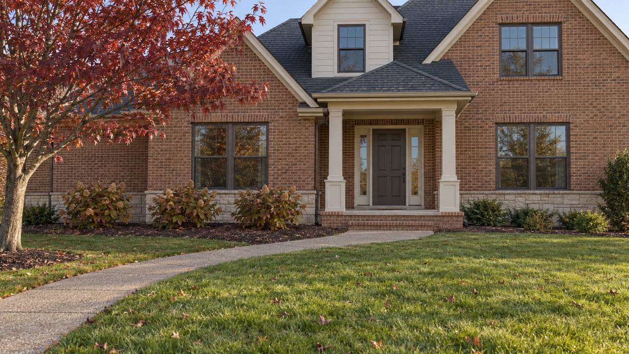
In a newer Hardin Valley subdivision, the street that ends at a tree line is often not a dead end in the county's eyes. Under the subdivision regulations Knox County and Knoxville share, a street built to be extended later is classified as a stub street. When it is designed to connect to the next property, the rules require a sign at its end saying so. The concept plan and the final plat have to say so too.
Many buyers expect that kind of disclosure in a seller's paperwork. Here it sits in a recorded plat and a sign at the curb. In Hardin Valley right now, it matters more than usual. The county has fewer ways to ease traffic on Hardin Valley Road than its growth calls for, and connecting subdivisions to each other is one of the main ones it has left.
What the rules actually say about a street end
The Knoxville-Knox County Subdivision Regulations, in the version amended through February 13, 2020, prohibit dead-end streets in proposed subdivisions. They also make clear that a stub street planned for continuation does not count as a dead end. A new subdivision must continue existing streets on neighboring tracts when the Planning Commission finds that feasible. It can also be required to build stub-outs into undeveloped land next door. Whoever later develops that land is responsible for extending the street.
The disclosure language in the subdivision regulations reads:
"When streets are designed to connect to an adjacent property to allow for future connectivity between developments, the end of the new street shall be posted with a sign designating the street end as a future street connection... The Concept Plan and Final Plat for the subdivision shall also clearly identify that the street end is designed for future connection."
The same section says that when subdivisions are connected, future traffic patterns should be evaluated. It also says cut-through traffic and speeding on local residential streets should be discouraged through design. The rules expect connections to carry more cars and ask designers to plan for that.
Why Hardin Valley leans on this rule harder than most
The reason is the valley's shape. Knox Planning's 2019 Hardin Valley Mobility Plan found that most of the area's major roads run east to west. Topography has historically limited north-south connections, which concentrates traffic on the roads that already exist. The plan names North Campbell Station Road as one of the few north-south links. It also proposed a new east-west connection between Steele Road and Mission Hill Lane as a route parallel to Hardin Valley Road.
Traffic has grown much faster than the road. WVLT reported that Hardin Valley Road carried an average of 7,533 cars a day in 2003 and 20,484 a day in 2024. West of Steele Road, county planners describe the road as a minor arterial with 21 to 22 feet of pavement.
The county's big fix for Hardin Valley Road has kept moving. Here is how the start date has shifted:
- August 2024. The Farragut Press reported that widening the stretch from Solway Road at Pellissippi Parkway to Award Winning Way to five lanes would begin in spring or summer 2025.
- August 2025. WVLT reported the project had been slated to start that summer. County engineering said private property still had to be acquired and the department wanted to bid the work in late winter.
- September 2026. The Knox County Commission agenda included a $38,245 supplement to Gresham Smith's professional-services contract for additional Phase 1 scope. That is a design item, not a construction award.
- October 2026. A Knox Planning staff report says Phase I is "anticipated to begin construction in Fall 2026." Phase II would widen the road from Award Winning Way to N. Campbell Station Road.
The county records available as of early October 2026 don't show a construction contract for Phase I. Even after construction starts, a wider Hardin Valley Road only adds east-west capacity. It does nothing about the shortage of north-south routes. That shortage is what the connectivity conditions on new subdivisions are meant to address, and those conditions get written into each subdivision's approval, one property at a time.
The current case: Maroon Bells Road and Signal View Road
The clearest example right now sits on the north side of Hardin Valley Road, west of Steele Road. Hardin Valley Farm, LLC has asked to rezone 108.58 acres at 11636 Hardin Valley Road from Agricultural to Planned Residential, at up to four dwelling units per acre. Staff estimate the zoning could allow up to 434 homes. A Traffic Impact Study would be required at the concept and development plan stage.
Directly north is the Haven at Hardin Valley, a 372-unit subdivision that is still under construction. Planning staff recommended approval with three conditions:
| Staff condition | What it does |
|---|---|
| Street connections to Maroon Bells Road and Signal View Road | Ties the new development's streets into the Haven at Hardin Valley to the north |
| Stub-outs to the west and east | Leaves street ends ready for future development on the neighboring land |
| 30-foot greenway easement along Conner Creek | Reserves a corridor that the 2020 Knox County Greenway Corridor Study identified as a potential greenway route |
The staff report gives the mobility plan as the reason for the first condition. It quotes the plan's warning that the area's major roads "will likely become more congested" and that local roads "could begin to see more traffic if alternative routes are not constructed." It then says connecting to Maroon Bells Road and Signal View Road supports the plan's goal of encouraging north-south connections.
That reasoning is the thesis of this post, stated in the county's own words. Streets inside the Haven at Hardin Valley are being treated as part of the north-south network the valley lacks. The rezoning was heard by the Planning Commission on October 1, 2026. The case page lists Knox County Commission action on November 9, 2026. The sources reviewed for this post don't show the Planning Commission's vote or whether the three conditions survived it. Until that record is posted, they are staff recommendations.
Land-use history explains why this keeps happening. Since the early 2000s, land around this tract has moved from Agricultural zoning to Planned Residential at densities from two to eight units per acre. In 2024, the updated Growth Policy Plan moved this property from Rural into the Planned Growth Area. Next door, the Brooke at Hardin Valley, a 42-lot subdivision, was completed in 2022. Each new subdivision next to farmland is a candidate for stub-outs, and each later one is expected to connect to them.
What happens when a connection reaches an existing street
How connections play out depends on the specific case. In the Thompson Meadows case, a safety objection was raised in April 2025 to a road into the Grasshopper Lane cul-de-sac. In June 2025, the Knox County Commission approved rezoning 7734 Majors Road at 4.75 units per acre. The approval barred vehicle access through the lot next to Grasshopper Lane and required access to Thompson Meadows by way of Squirrel Run Lane. One street was spared and a connection was still made through another.
In Farragut, which has its own rules outside the county's subdivision regulations, the Farragut Press reported in September 2026 that Fox Den residents opposed a proposed connection to South Fox Den Drive for a townhouse development. They cited traffic and property values. According to that report, the developer was not yet ready to take the proposal to the Planning Commission.
Neither case is in Hardin Valley. Both show that a connection is decided case by case, in public, usually years after the first homes on the stub street have closed.
Where a buyer can find a planned connection on paper
Hardin Valley keeps adding homes, and not only in single-family subdivisions. Knox Planning's 2025 development activity report lists the 220-unit Legends at Hardin Valley among notable multi-unit projects. WATE reported that an 84-unit development off Hardin Valley Road was expected to be completed by November 2026. When the street network grows by adding pieces rather than building new roads, these public records show what is planned:
- The recorded final plat. The regulations require it to identify any street end designed for future connection.
- The street end itself. A future-connection sign is required to be clearly visible from the end of the street.
- Knox Planning case pages. A case like 10-B-26-RZ shows staff conditions naming specific streets, the hearing dates, and a link for submitting public comments.
- The zoning of the land past the tree line. A parcel already inside the Planned Growth Area is a parcel where a rezoning request and a connection condition can follow.
Common questions
Does a street-end sign mean a connection is scheduled? No. Under the regulations, it means the street was designed for a future connection. Extending it is the responsibility of whoever develops the neighboring land, whenever that happens.
Have the Maroon Bells Road and Signal View Road connections been approved? They were staff-recommended conditions on case 10-B-26-RZ, which went before the Planning Commission on October 1, 2026. Knox County Commission is scheduled to take it up on November 9, 2026.
Will widening Hardin Valley Road reduce the need for these connections? The widening adds lanes on an east-west road. Knox Planning's staff report cites the separate shortage of north-south routes as its reason for requiring connections between subdivisions.
If you're weighing a home on a quiet street in Hardin Valley, it helps to know what the plat and the planning file say about that street before you write an offer. Terri Lawson can help you pull the recorded plat and the Knox Planning case history for any street end you're considering, so you know which streets are designed to connect later. Let's Connect.
This article is general information, not legal, tax or financial advice. Consult a qualified professional about your situation.